Hiking · Catawba, Virginia
McAfee Knob
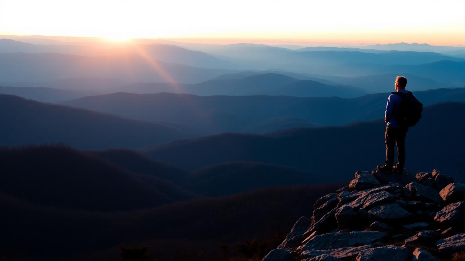
The most photographed overlook on the Appalachian Trail, reached by a steady climb from Route 311.
- Distance
- 8.8 mi
- Elevation gain
- 1,740 ft
- Difficulty
- Difficult
- Typical time
- 4 hr – 6 hr
About this route
McAfee Knob's cantilevered rock ledge is the image most people picture when they think of the Appalachian Trail. The hike follows the AT north from the Route 311 parking area, climbing steadily on well-graded tread with a few rocky stretches.
It is busy — genuinely busy — on clear weekends, and the parking lot overflows before dawn. A shuttle has operated seasonally from Roanoke in past years; verify current service before relying on it.
Camping is restricted near the summit and campfires are prohibited in the area. Sunrise and sunset visits are popular; if you go at either end of the day, carry a headlamp and warm layers.
Why this difficulty rating: Long, steady climbing with rocky sections. No scrambling, but the round trip is a real half-day of effort.
Highlights
- The AT's signature overlook
- Part of Virginia's Triple Crown
- Well-graded trail the whole way
Map and trailheads
Approximate locations for orientation only. Carry an offline map — cell service is unreliable on much of this network.
Route 311 Trailhead
trailhead
Lot fills before sunrise on clear weekends. Shoulder parking is prohibited.
Trail crosses Route 311 on a footbridge to reach the Appalachian Trail northbound.
Know before you go
- Route type
- Out and back
- Surfaces
- Rocky, Dirt
- Setting
- Mountain, Ridgeline, Forest
- Amenities
- Parking, Restrooms, Shade
- Parking
- Route 311 trailhead lot fills extremely early on weekends. Parking along the highway shoulder is prohibited and ticketed.
- Restrooms
- Vault toilet at the trailhead.
- Water
- No reliable treated water. Carry all you need; shelter springs are seasonal.
- Fees
- Free.
- Permits
- Not yet verified
- Hours
- Not yet verified
- Dogs
- Dogs allowed on leash
- Accessibility
- Not yet verified
- Stroller friendly
- No
- Good with kids
- No
- Seasonal notes
- The northbound thru-hiker bubble passes in spring. Winter offers the clearest air and thinnest crowds but the ledge can be icy.
- Weather exposure
- Exposed ledge and ridgeline at the top.
- Cell service
- Not yet verified.
- Emergency
- Call 911. Access for rescue is from the Route 311 trailhead.
Hazards and wildlife
- Unprotected cliff edge at the overlook
- Lightning on the ridge
- Ice in winter
- Full parking lots
Active black bear country. Never leave food unattended at the overlook.
Related routes
Hiking
Dragon's Tooth
Catawba · Roanoke & the New River Valley
A rugged scramble to a spire of Tuscarora quartzite — the most technical of the Triple Crown.
- Distance
- 4.5 mi
- Elevation gain
- 1,500 ft
- Route type
- Out and back
- Difficulty
- Difficult
Surface: Rocky, Dirt
- Quartzite spire summit
- Rebar-assisted scramble
Hiking
Tinker Cliffs
Daleville · Roanoke & the New River Valley
Half a mile of open clifftop walking above the Catawba Valley, quieter than its famous neighbor.
- Distance
- 7.6 mi
- Elevation gain
- 2,000 ft
- Route type
- Out and back
- Difficulty
- Difficult
Surface: Rocky, Dirt
- Half a mile of open cliff
- Views toward McAfee Knob
Hiking
Grayson Highlands & Mount Rogers Routes
Mouth of Wilson · Southwest Virginia
Open balds, rock outcrops, and free-roaming ponies below Virginia's highest peak.
- Distance
- 9 mi
- Elevation gain
- 1,600 ft
- Route type
- Loop
- Difficulty
- Moderate
Surface: Rocky, Dirt
- Wild ponies
- Virginia's highest peak