Skip to content

Region

Shenandoah National Park

Over 500 miles of trail along Skyline Drive — waterfalls, rock scrambles, and classic Blue Ridge summits.

Shenandoah National Park packs an enormous range of difficulty into a narrow ridge. You can walk fifteen minutes to a summit view at Stony Man or commit to a full day on Old Rag's scramble. Trailheads are numbered by Skyline Drive milepost, which makes planning unusually simple once you know the system.

4 routes in Shenandoah National Park

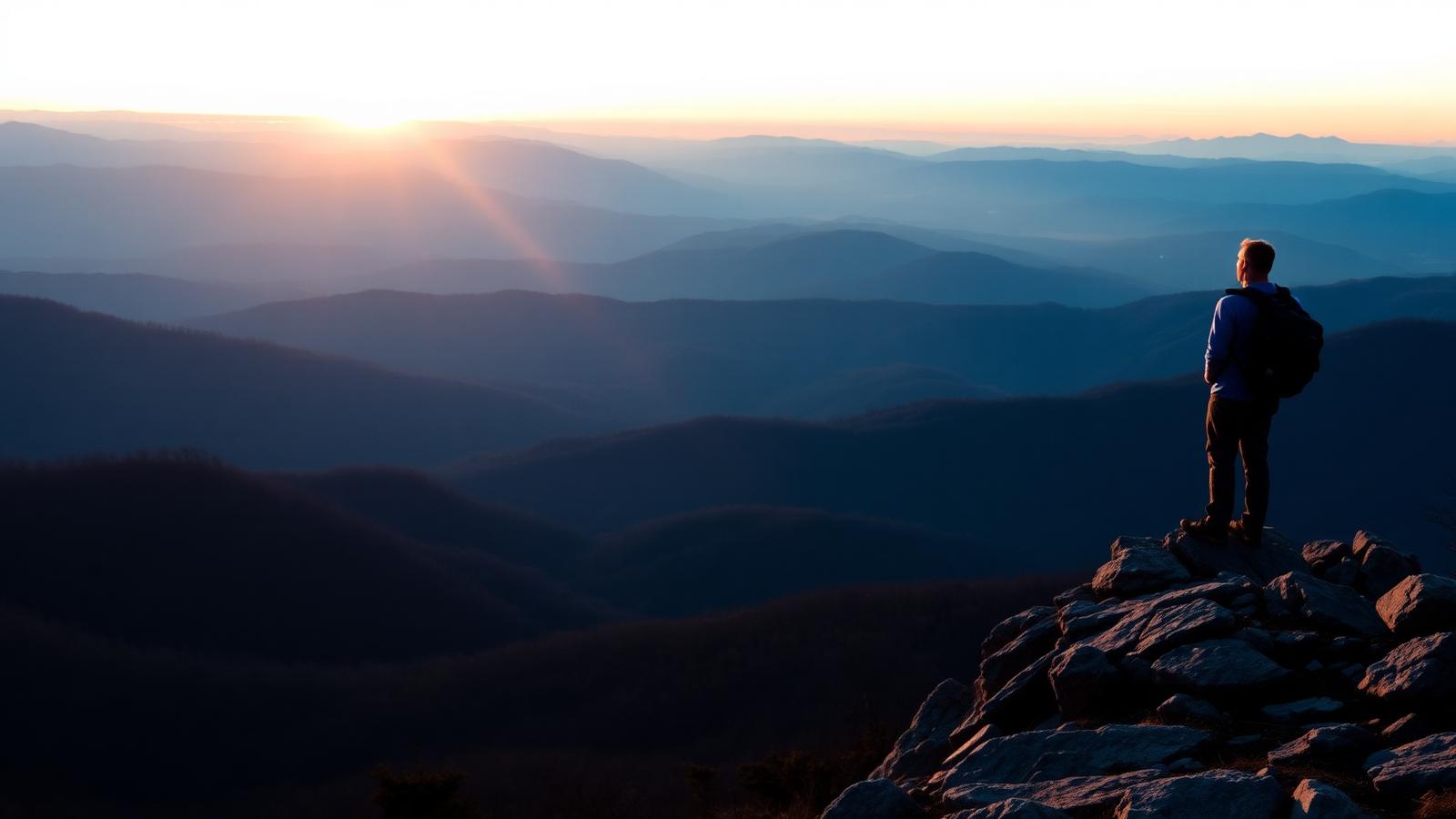
Old Rag Mountain — Hiker standing on a rocky Appalachian Trail overlook above layered Blue Ridge mountains at sunrise

Hiking

Old Rag Mountain

Etlan · Shenandoah National Park

Virginia's most famous hike: a long approach, a genuine rock scramble, and a 360-degree summit.

Distance
9.4 mi
Elevation gain
2,415 ft
Route type
Loop
Difficulty
Strenuous

Surface: Rocky, Dirt

  • Mile-long granite scramble
  • 360-degree summit
Verified August 1, 2026

Whiteoak Canyon — Dirt hiking trail through green Virginia forest beside a small waterfall

Hiking

Whiteoak Canyon

Syria · Shenandoah National Park

A steep canyon of stacked waterfalls, hikeable as a short upper visit or a long full descent.

Distance
4.6 mi
Elevation gain
1,040 ft
Route type
Out and back
Difficulty
Difficult

Surface: Rocky, Dirt

  • Stacked waterfalls
  • Cedar Run circuit option
Verified August 1, 2026
Stony Man — Hiker standing on a rocky Appalachian Trail overlook above layered Blue Ridge mountains at sunrise

Hiking

Stony Man

Luray · Shenandoah National Park

The best view-per-effort hike in Shenandoah: a short, gentle climb to a cliff-top panorama.

Distance
1.6 mi
Elevation gain
340 ft
Route type
Loop
Difficulty
Easy

Surface: Rocky, Dirt

  • Big view for little effort
  • Second-highest peak in the park
Verified August 1, 2026
Hawksbill Summit — Hiker standing on a rocky Appalachian Trail overlook above layered Blue Ridge mountains at sunrise

Hiking

Hawksbill Summit

Stanley · Shenandoah National Park

The highest point in Shenandoah National Park, reachable by a short steep climb or a longer circuit.

Distance
2.9 mi
Elevation gain
690 ft
Route type
Loop
Difficulty
Moderate

Surface: Rocky, Dirt

  • Highest point in the park
  • Stone observation platform
Verified August 1, 2026