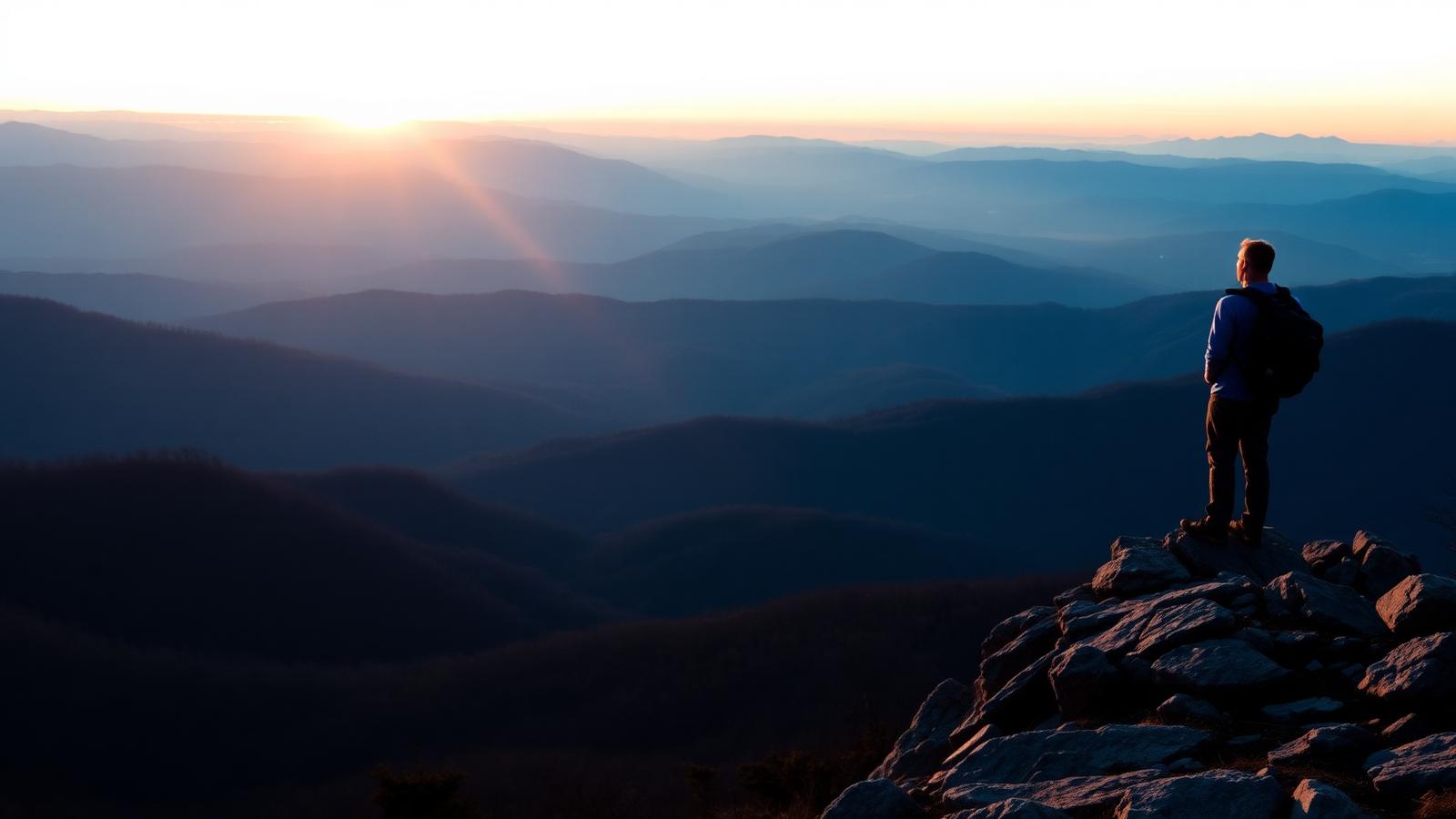
Hiking · Mouth of Wilson, Virginia
Grayson Highlands & Mount Rogers Routes
Open balds, rock outcrops, and free-roaming ponies below Virginia's highest peak.
- Distance
- 9 mi
- Elevation gain
- 1,600 ft
- Difficulty
- Moderate
- Typical time
- 5 hr – 7 hr
About this route
Grayson Highlands State Park sits at the doorstep of the Mount Rogers National Recreation Area, and the terrain looks like nowhere else in Virginia: treeless balds, weathered rock, and grazing ponies at nearly 5,000 feet.
Routes here combine park trails with the Appalachian Trail and the Pine Mountain Trail to reach Thomas Knob, Rhododendron Gap, and the wooded summit of Mount Rogers itself, which at 5,729 feet is the state high point.
The ponies are wild animals managed for vegetation control. Do not feed or touch them.
Weather changes fast up here. Fog can reduce visibility to a few yards on open bald, where the trail is marked by cairns and posts rather than trees.
Why this difficulty rating: Rocky, uneven footing across open terrain with moderate climbing. Navigation in fog is the main challenge.
Highlights
- Wild ponies
- Virginia's highest peak
- Alpine-feeling open balds
Map and trailheads
Approximate locations for orientation only. Carry an offline map — cell service is unreliable on much of this network.
Massie Gap (Grayson Highlands State Park)
trailhead
State park lot with day-use fee; overnight parking has a separate permit process.
Know before you go
- Route type
- Loop
- Surfaces
- Rocky, Dirt
- Setting
- Mountain, Ridgeline, Forest
- Amenities
- Parking, Restrooms, Water, Camping
- Parking
- Massie Gap parking inside Grayson Highlands State Park; day-use fee applies.
- Restrooms
- Not yet verified
- Water
- Not yet verified
- Fees
- Virginia State Parks day-use parking fee applies at Massie Gap.
- Permits
- Not yet verified
- Hours
- Not yet verified
- Dogs
- Dogs allowed on leash
- Accessibility
- Not yet verified
- Stroller friendly
- No
- Good with kids
- Yes
- Seasonal notes
- Snow, rime ice, and high wind are normal from December into March. Summer fog is frequent. Rhododendron peaks in June.
- Weather exposure
- Long stretches above treeline with no shelter.
- Cell service
- Not yet verified.
- Emergency
- Not yet verified
Hazards and wildlife
- Rapid weather change and fog
- Lightning on open bald
- Wild ponies — do not approach
- Rocky ankle-turning footing
Free-roaming ponies, black bears, and occasional timber rattlesnakes. Store food securely at backcountry sites.
Related routes

Running
Virginia Creeper Trail
Damascus · Southwest Virginia
A 34-mile rail-trail from Whitetop to Abingdon, famous for its long gentle downhill and trestles.
- Distance
- 34.3 mi
- Elevation gain
- 200 ft
- Route type
- Point to point
- Difficulty
- Easy
Surface: Crushed stone, Gravel
- Dozens of wooden trestles
- 17-mile gentle descent
Hiking
McAfee Knob
Catawba · Roanoke & the New River Valley
The most photographed overlook on the Appalachian Trail, reached by a steady climb from Route 311.
- Distance
- 8.8 mi
- Elevation gain
- 1,740 ft
- Route type
- Out and back
- Difficulty
- Difficult
Surface: Rocky, Dirt
- The AT's signature overlook
- Part of Virginia's Triple Crown
Running
New River Trail
Pulaski to Galax · Southwest Virginia
A 57-mile linear state park along the New River with tunnels, trestles, and near-zero grade.
- Distance
- 57 mi
- Elevation gain
- 400 ft
- Route type
- Point to point
- Difficulty
- Easy
Surface: Crushed stone, Gravel
- 57 miles beside the New River
- Two tunnels and long trestles