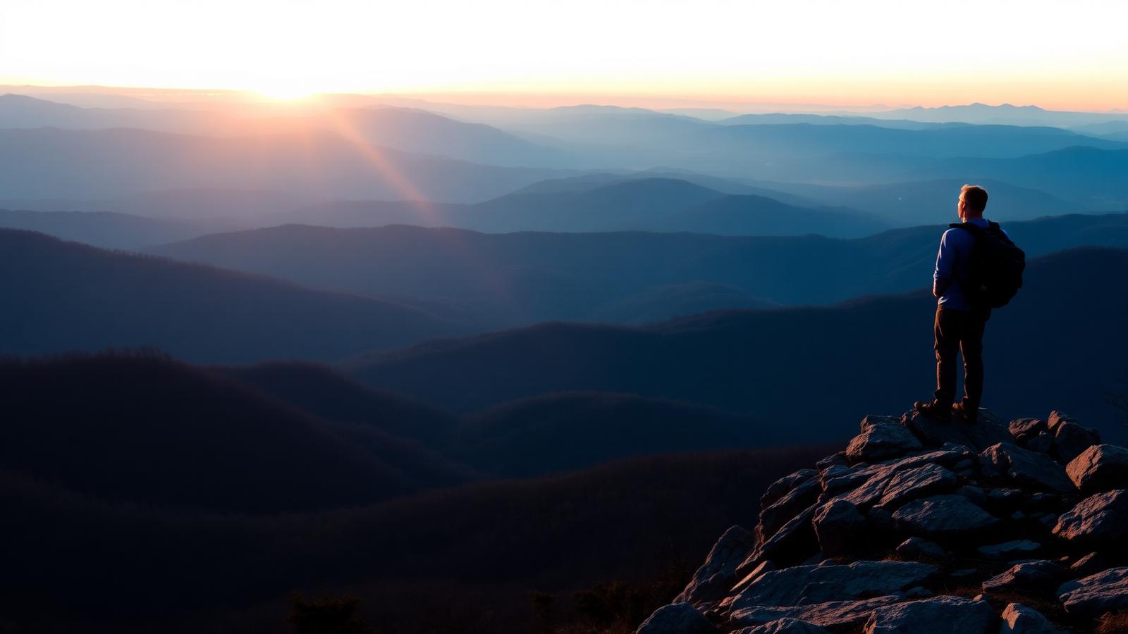
Hiking · Stanley, Virginia
Hawksbill Summit
The highest point in Shenandoah National Park, reachable by a short steep climb or a longer circuit.
- Distance
- 2.9 mi
- Elevation gain
- 690 ft
- Difficulty
- Moderate
- Typical time
- 1.5 hr – 2.5 hr
About this route
Hawksbill tops out at 4,050 feet, the highest ground in the park. The Upper Hawksbill route is the gentler approach; the Lower Hawksbill Trail is shorter and considerably steeper.
The summit has a stone observation platform and remnants of the high-elevation spruce-fir community that survives only on Virginia's tallest peaks. Peregrine falcons have been reintroduced in the area.
Why this difficulty rating: Short but steady climbing with rocky sections near the summit.
Highlights
- Highest point in the park
- Stone observation platform
- Spruce-fir remnant forest
Map and trailheads
Approximate locations for orientation only. Carry an offline map — cell service is unreliable on much of this network.
Know before you go
- Route type
- Loop
- Surfaces
- Rocky, Dirt
- Setting
- Mountain, Ridgeline, Forest
- Amenities
- Parking, Shade
- Parking
- Upper Hawksbill parking near Skyline Drive milepost 46.7.
- Restrooms
- Not yet verified
- Water
- Not yet verified
- Fees
- Shenandoah National Park entrance fee applies.
- Permits
- Not yet verified
- Hours
- Not yet verified
- Dogs
- Dogs allowed on leash
- Accessibility
- Not yet verified
- Stroller friendly
- No
- Good with kids
- Yes
- Seasonal notes
- Not yet verified
- Weather exposure
- Exposed summit platform; weather changes fast at elevation.
- Cell service
- Not yet verified
- Emergency
- Not yet verified
Hazards and wildlife
- Lightning
- Wind and cold at the summit
- Rocky footing
Peregrine falcon habitat; observe from the platform and do not approach cliffs.
Related routes
Hiking
Stony Man
Luray · Shenandoah National Park
The best view-per-effort hike in Shenandoah: a short, gentle climb to a cliff-top panorama.
- Distance
- 1.6 mi
- Elevation gain
- 340 ft
- Route type
- Loop
- Difficulty
- Easy
Surface: Rocky, Dirt
- Big view for little effort
- Second-highest peak in the park
Hiking
Old Rag Mountain
Etlan · Shenandoah National Park
Virginia's most famous hike: a long approach, a genuine rock scramble, and a 360-degree summit.
- Distance
- 9.4 mi
- Elevation gain
- 2,415 ft
- Route type
- Loop
- Difficulty
- Strenuous
Surface: Rocky, Dirt
- Mile-long granite scramble
- 360-degree summit

Hiking
Whiteoak Canyon
Syria · Shenandoah National Park
A steep canyon of stacked waterfalls, hikeable as a short upper visit or a long full descent.
- Distance
- 4.6 mi
- Elevation gain
- 1,040 ft
- Route type
- Out and back
- Difficulty
- Difficult
Surface: Rocky, Dirt
- Stacked waterfalls
- Cedar Run circuit option