Hiking · Etlan, Virginia
Old Rag Mountain
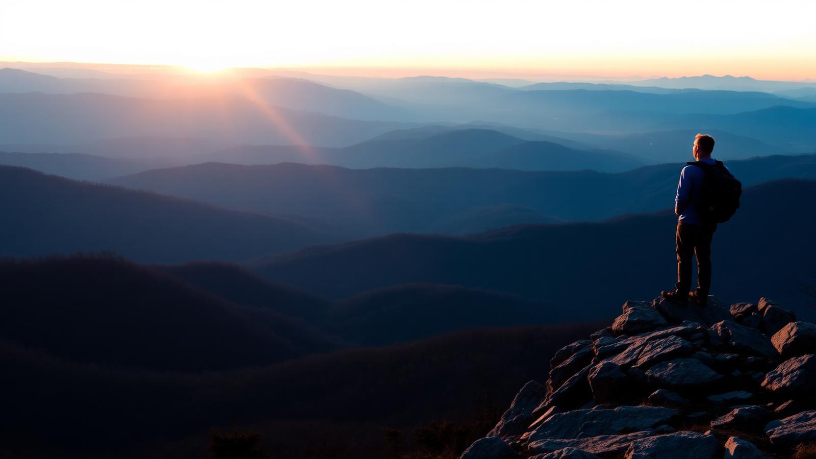
Virginia's most famous hike: a long approach, a genuine rock scramble, and a 360-degree summit.
- Distance
- 9.4 mi
- Elevation gain
- 2,415 ft
- Difficulty
- Strenuous
- Typical time
- 5 hr – 8 hr
About this route
Old Rag is the benchmark hard day hike in Virginia. The circuit climbs steadily through forest, then delivers roughly a mile of hands-on scrambling through granite chutes and boulder squeezes before opening onto a bare summit with views in every direction.
The scramble is not exposed rock climbing, but it does require using your hands, squeezing through gaps, and committing to moves with a pack on. It backs up in both directions on busy weekends, which can add hours.
Shenandoah National Park has used a day-use ticket system for Old Rag in recent years. Verify the current requirement on the park's website before you drive out — this is the single most common reason people are turned away.
Why this difficulty rating: Sustained climbing plus about a mile of hands-on rock scrambling with awkward moves and drop-offs. Not appropriate for young children, dogs, or hikers uncomfortable with heights.
Highlights
- Mile-long granite scramble
- 360-degree summit
- Virginia's signature day hike
Map and trailheads
Approximate locations for orientation only. Carry an offline map — cell service is unreliable on much of this network.
Old Rag Parking Area (Nethers Road)
parking
Fills very early on weekends. Roadside parking is prohibited and vehicles are ticketed or towed.
Vault toilets on site. Day-use ticket requirements have applied in recent years.
Know before you go
- Route type
- Loop
- Surfaces
- Rocky, Dirt
- Setting
- Mountain, Forest, Ridgeline
- Amenities
- Parking, Restrooms
- Parking
- Parking is at the Old Rag lot on Nethers Road and fills very early on weekends. Roadside parking is prohibited.
- Restrooms
- Vault toilets at the parking area.
- Water
- No reliable water on the mountain. Carry at least three liters in summer.
- Fees
- Shenandoah National Park entrance fee applies.
- Permits
- A day-use ticket has been required in recent years. Confirm current requirements with the park before departure.
- Hours
- Access varies with weather and road conditions.
- Dogs
- Dogs not allowed
- Accessibility
- Not yet verified
- Stroller friendly
- No
- Good with kids
- No
- Seasonal notes
- Ice on the scramble makes winter ascents dangerous. Summer thunderstorms arrive fast on the exposed summit.
- Weather exposure
- Exposed summit and upper scramble with no shelter.
- Cell service
- Not yet verified.
- Emergency
- Call 911 or Shenandoah National Park dispatch. Rescues on the scramble are slow and difficult.
Hazards and wildlife
- Rock scrambling with fall potential
- Lightning on the exposed summit
- Ice in winter
- Congestion causing delays
Black bears are present. Store food properly and never leave packs unattended at the summit.
Related routes

Hiking
Whiteoak Canyon
Syria · Shenandoah National Park
A steep canyon of stacked waterfalls, hikeable as a short upper visit or a long full descent.
- Distance
- 4.6 mi
- Elevation gain
- 1,040 ft
- Route type
- Out and back
- Difficulty
- Difficult
Surface: Rocky, Dirt
- Stacked waterfalls
- Cedar Run circuit option
Hiking
Stony Man
Luray · Shenandoah National Park
The best view-per-effort hike in Shenandoah: a short, gentle climb to a cliff-top panorama.
- Distance
- 1.6 mi
- Elevation gain
- 340 ft
- Route type
- Loop
- Difficulty
- Easy
Surface: Rocky, Dirt
- Big view for little effort
- Second-highest peak in the park
Hiking
Hawksbill Summit
Stanley · Shenandoah National Park
The highest point in Shenandoah National Park, reachable by a short steep climb or a longer circuit.
- Distance
- 2.9 mi
- Elevation gain
- 690 ft
- Route type
- Loop
- Difficulty
- Moderate
Surface: Rocky, Dirt
- Highest point in the park
- Stone observation platform