Skip to content

Region

Southwest Virginia

Highland balds, wild ponies, spruce-fir forest, and the Virginia Creeper Trail.

Southwest Virginia holds the state's highest ground. Mount Rogers and Grayson Highlands feel subalpine — open balds, rock outcrops, and free-roaming ponies at 5,000 feet. Below them, the Virginia Creeper Trail delivers one of the most accessible long descents in the eastern United States.

3 routes in Southwest Virginia

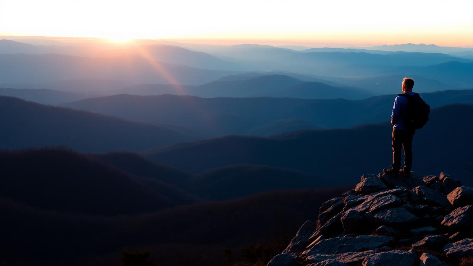
Grayson Highlands & Mount Rogers Routes — Hiker standing on a rocky Appalachian Trail overlook above layered Blue Ridge mountains at sunrise

Hiking

Grayson Highlands & Mount Rogers Routes

Mouth of Wilson · Southwest Virginia

Open balds, rock outcrops, and free-roaming ponies below Virginia's highest peak.

Distance
9 mi
Elevation gain
1,600 ft
Route type
Loop
Difficulty
Moderate

Surface: Rocky, Dirt

  • Wild ponies
  • Virginia's highest peak
Verified August 1, 2026

Virginia Creeper Trail — Paved coastal greenway path running between marsh grasses in golden evening light

Running

Virginia Creeper Trail

Damascus · Southwest Virginia

A 34-mile rail-trail from Whitetop to Abingdon, famous for its long gentle downhill and trestles.

Distance
34.3 mi
Elevation gain
200 ft
Route type
Point to point
Difficulty
Easy

Surface: Crushed stone, Gravel

  • Dozens of wooden trestles
  • 17-mile gentle descent
Verified August 1, 2026
New River Trail — Paved coastal greenway path running between marsh grasses in golden evening light

Running

New River Trail

Pulaski to Galax · Southwest Virginia

A 57-mile linear state park along the New River with tunnels, trestles, and near-zero grade.

Distance
57 mi
Elevation gain
400 ft
Route type
Point to point
Difficulty
Easy

Surface: Crushed stone, Gravel

  • 57 miles beside the New River
  • Two tunnels and long trestles
Verified August 1, 2026